Grand Forks city officials are taking proactive measures to enhance flood protection following a recent study highlighting vulnerabilities in the existing system. The study, presented at the Grand Forks City Council meeting on January 12, 2024, detailed how the city’s flood protections might perform against increasing rainfall and spring melt flows. City Engineer Al Grasser stated that this research continues previous assessments that identified rising summer rain events and intensified snowmelt.
The study, conducted in collaboration with the engineering firm AE2S, involved 27 model simulations to predict how various drainage systems, including the English Coulee and its surrounding infrastructure, would respond to different flood scenarios. Grasser emphasized the search for cost-effective solutions, saying, “We also did some runs searching for that simple solution. Is there a cheap, easy solution to move forward?”
Among the recommendations, the study suggests constructing additional storage ponds and box culverts west of Interstate 29. This initiative aims to better manage water flow in rural areas of the watershed. Grasser noted that these concepts will be integrated into the planned interchange project from Interstate 29 to 47th Avenue South.
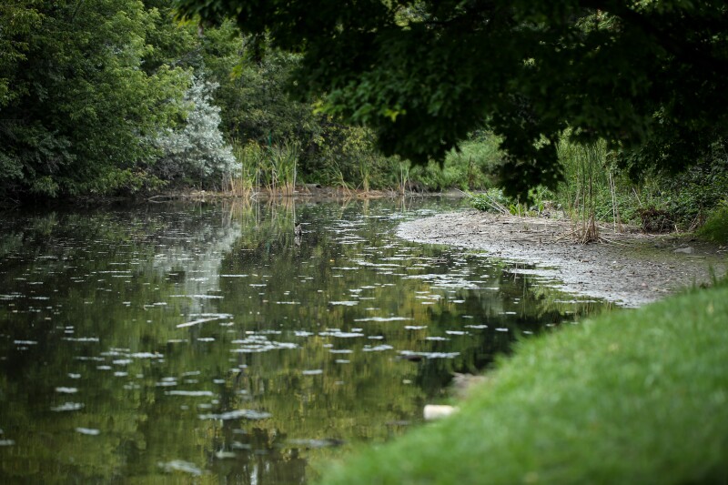
Another proposed strategy involves enhancing the English Coulee Diversion by redirecting water flow at the interstate level. This would utilize gravity to direct excess water towards the diversion while also upgrading certain pump stations to improve overall efficacy. The English Coulee, a natural waterway, flows northward through western Grand Forks, passing residential neighborhoods and the University of North Dakota before merging with the Red River.
The study also identified areas not directly connected to the coulee that remain vulnerable to flooding through the storm sewer system. Grasser mentioned, “We want to look at the possibility of being able to disconnect some of those points and put in a small pump station, so in the event that we do have high water on the English Coulee, we can basically control that water.”
In the immediate future, the engineering department plans to prioritize several key initiatives. These include determining storage requirements for ditches and ponds west of the interstate, collaborating with the Army Corps of Engineers to facilitate new water flows to the English Coulee Diversion, and evaluating the feasibility of upgrading existing pump stations. Additionally, the city intends to install monitoring sites on major waterways to better understand flow dynamics in relation to rainfall events.
“There were a lot of monitoring sites that monitored the flows vs. the rainfall events,” Grasser explained. “I think there’s some advantage for us to keep a few of these sites working so we understand how these drainage features are working.”
To support these projects financially, the city may benefit from cost-sharing programs with the North Dakota Department of Water Resources. Currently, Grand Forks participates in the Rural Flood Control Program, which offers cost shares between 45% and 60%, as well as the Flood Protection Program, which can provide up to 60% cost shares. As of now, the city is operating at a 52% cost share with the state for flood-related projects.
As climate patterns continue to shift, these proactive measures taken by Grand Forks officials underscore the importance of adapting infrastructure to better protect the community from potential flooding risks.