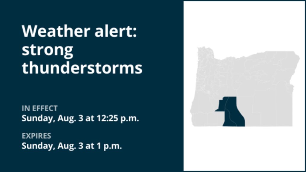
URGENT UPDATE: Severe thunderstorms are currently impacting regions in Oregon, bringing gusty winds and hail. The National Weather Service has issued a weather alert effective until 1 p.m. on October 15, 2023, warning residents in the South Central Oregon Cascades, Klamath Basin, and portions of Northern and Eastern Klamath County, as well as Western Lake County, to prepare for dangerous conditions.
The storms are characterized by wind gusts reaching up to 50 mph and marble-sized hail measuring approximately 0.5 inches. This alarming weather event poses significant risks, including potential damage to vehicles, property, and local agriculture. Residents are advised to seek shelter and avoid unnecessary travel during this hazardous period.
The severity of the storms has prompted local authorities to issue warnings and prepare emergency response teams. Residents are encouraged to stay updated on the latest weather developments as conditions may change rapidly.
As the afternoon progresses, the impact of these storms is expected to escalate, causing disruptions in power and transportation across the affected areas. Emergency services are on high alert, ready to respond to any incidents related to the severe weather.
What to Watch For: Keep an eye on local news updates and heed any evacuation orders if necessary. The National Weather Service continues to monitor the situation closely and will provide real-time updates as new data comes in.
This weather event serves as a stark reminder of the unpredictable nature of severe storms. Residents are urged to stay safe and take precautions as this situation unfolds. Share this information with your community to ensure everyone is aware of the impending weather dangers.