UPDATE: Southern California is set to experience a significant temperature drop this weekend after a week of record-breaking heat, but residents should brace for another heatwave looming in the near future.
Temperatures are expected to peak at 78°F in Los Angeles and Orange County on Friday before cooling into the low 70s over the weekend. Sunday is forecasted to be the coolest day, with temperatures dipping to a low of 53°F. However, by Monday, the mercury is anticipated to rise again, signaling another wave of warmer conditions.
The valleys and the Inland Empire will see slightly warmer temperatures, ranging from 75°F to 80°F, while coastal areas will remain cooler at around 69°F for both Saturday and Sunday. This shift follows a period where San Diego County recorded temperatures hitting 84°F, a staggering 15 degrees above the seasonal average.
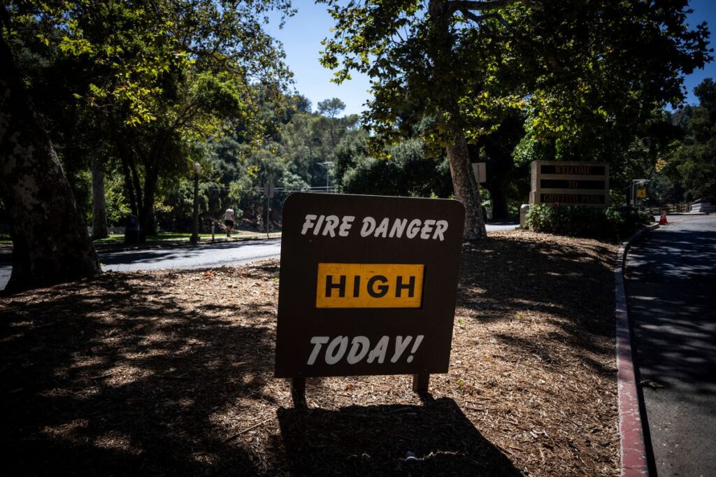
Officials attribute this unusual heat to persistent high-pressure systems dominating the region, which have contributed to elevated temperatures across Southern California. As the state cools down, many parts of the country are grappling with severe winter storms.
In stark contrast, the Pacific Northwest is facing heavy rainfall and flooding, prompting widespread evacuations in states like Washington and Oregon. The National Weather Service has reported that the first in a series of powerful storms has caused rivers to swell, leading to road closures and emergency rescues.
Residents are advised to stay alert as forecasts indicate that major rivers in the region are expected to crest later this week, with flood watches in effect. Local authorities are mobilizing resources, with emergency crews conducting rescues in flood-affected areas, utilizing inflatable kayaks to assist stranded individuals.
As Southern California prepares for a brief respite from the heat, the weather continues to evolve rapidly across the nation, impacting daily life and safety. Stay tuned for further updates as we monitor these developments closely.