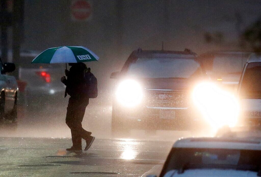
URGENT UPDATE: Massachusetts is preparing for what could be its last thunderstorms for an extended period, with scattered storms expected early Wednesday night. According to the National Weather Service, the next round of rain on Friday may mark the end of measurable precipitation as a strong high-pressure system settles over southern New England this weekend.
Residents should remain vigilant as storms could start as early as 8 a.m. or as late as 1 p.m. on Friday. These storms are not forecasted to be severe, with wind speeds expected to stay below 35 mph. However, instability may still lead to brief rain showers, especially later in the day.
Forecasters indicate that after a tranquil Thursday, clouds will gather due to a cold pool lingering over northern New England. This phenomenon can create a unique weather pattern where rain evaporates before reaching the ground, causing localized cool air bursts.
Temperatures will hover in the high 60s to low 70s on Friday, with a significant warm-up expected next week as the cold pool exits the region by Sunday and Monday. By the following Wednesday, temperatures could soar into the high 70s and low 80s.
Residents are encouraged to prepare for potential rain on Friday and enjoy the warm-up that follows. This may be the last chance for moisture in the air for some time, making it essential for gardeners and outdoor enthusiasts to take advantage of any rainfall before the dry spell sets in.
Stay tuned for more updates as forecasters continue to monitor this developing situation.