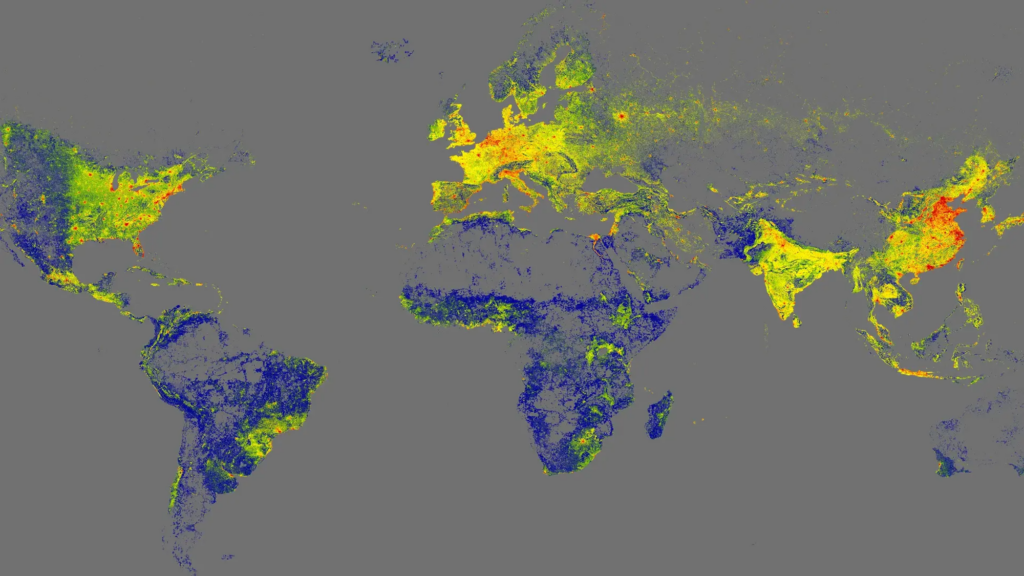
Researchers at the Technical University of Munich have achieved a significant milestone in cartography by releasing the GlobalBuildingAtlas, a comprehensive 3D mapping model that details every structure globally at a specific point in time. This groundbreaking project encompasses over 2.75 billion buildings, providing essential data for urban planning, infrastructure development, and social analysis.
The GlobalBuildingAtlas is designed not only to showcase the sheer scale of global architecture but also to enhance urban studies. According to research lead Xiaoxiang Zhu, “3D building information provides a much more accurate picture of urbanization and poverty than traditional 2D maps.” This innovative approach allows for a more nuanced understanding of living conditions by depicting both the footprint and volume of each structure.
Advanced Measurement Tools for Urban Insights
In addition to the mapping features, Zhu’s team developed a new measurement tool that calculates building volume per capita. This metric reflects the total building mass in relation to the local population, thus offering insights into social and economic inequalities related to housing and infrastructure. “This indicator supports sustainable urban development and helps cities become more inclusive and resilient,” Zhu noted.
The level of detail in the GlobalBuildingAtlas is unprecedented, with about 97 percent of the 3D structures classified as Level of Detail 1 (LoD 1). This classification ensures that the basic shape and height of the buildings are sufficiently accurate for various computer modeling projects. With a resolution of 9.8 by 9.8 feet, the atlas is approximately 30 times more detailed than similar existing projects.
Future Developments and Accessibility
The data used to create the GlobalBuildingAtlas was compiled as of 2019. However, since the platform is open-access, future updates are anticipated, making it an even more valuable resource for researchers and urban planners. Beyond its practical applications, the atlas serves as an engaging tool for exploration, appealing to both professionals and the general public.
As cities continue to grow and evolve, initiatives like the GlobalBuildingAtlas play a crucial role in understanding the complex dynamics of urban environments. By providing detailed insights into building structures across the globe, this project paves the way towards more informed decision-making in urban development and planning.