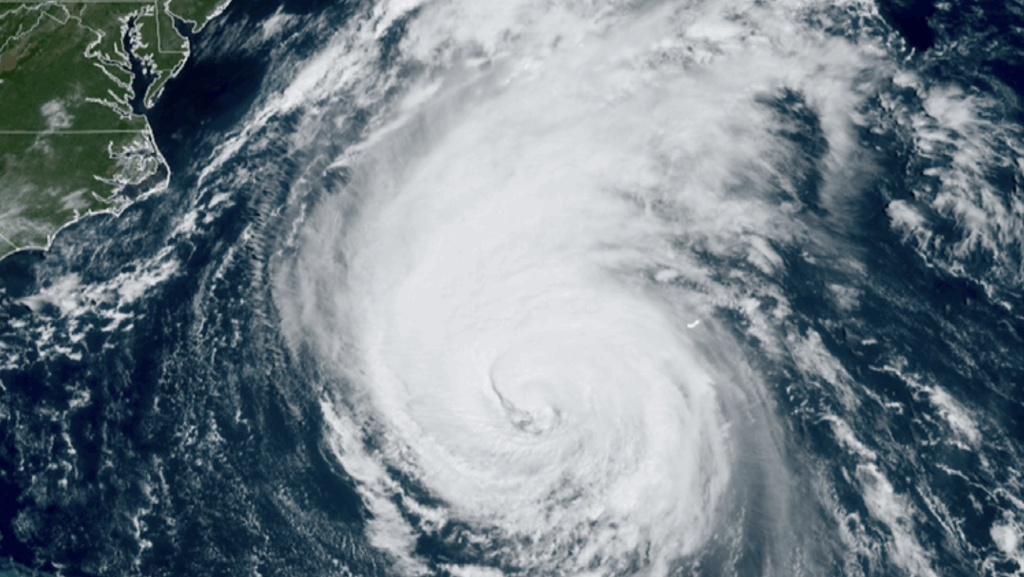
Severe weather conditions have prompted the United States Department of Defense (DoD) to address a significant gap in weather data resulting from planned budget cuts to the National Oceanic and Atmospheric Administration (NOAA). As NOAA prepares to scale back its operations, the DoD is strategically repurposing older weather imaging satellites to maintain effective monitoring over critical areas, particularly the Indian Ocean.
The Space Force has taken the initiative to utilize NOAA’s older Geostationary Operational Environmental Satellites (GOES) to support the operational needs of the Indo-Pacific Command. This move aims to ensure that accurate and timely weather data remains available for military operations in a region that is increasingly vital to U.S. defense strategy.
Significance of Weather Monitoring in Military Operations
Weather conditions play a crucial role in military planning and decision-making. The Indo-Pacific region, which encompasses several strategic waterways and air routes, is subject to diverse and often severe weather patterns. By repurposing these satellites, the Space Force hopes to enhance its operational capabilities, ensuring that commanders have access to reliable weather forecasts.
According to the DoD, the repurposed GOES satellites will provide essential data on atmospheric conditions, thereby improving situational awareness for military personnel deployed in the region. This initiative underscores the importance of reliable weather data, especially as the DoD confronts the implications of reduced funding for NOAA’s weather services.
Implications of NOAA’s Budget Cuts
The planned cuts to NOAA’s budget, announced earlier this year, have raised concerns among meteorologists and defense officials alike. While the agency has historically played a vital role in providing weather forecasts and data, these reductions threaten to compromise the availability of critical information. The DoD’s adaptation strategy reflects a growing recognition of the potential impact of such cuts on national security.
As the Space Force implements this new approach, it is also exploring additional partnerships with NOAA and other organizations to ensure that weather data remains robust and comprehensive. The collaboration aims to bridge the gap created by the budget constraints while also maximizing the use of existing resources.
In summary, the Space Force’s decision to utilize NOAA’s older GOES satellites represents a proactive step in addressing the challenges posed by the agency’s budget cuts. By ensuring access to vital weather data over the Indian Ocean, the DoD is reinforcing its commitment to maintaining operational readiness in a critical region. As this situation evolves, continued collaboration between military and meteorological agencies will be essential for effective response to weather-related challenges.


